


0.0 / 5
How satisfied were you with the behaviour and cooperation of the staff?

"A Panchayat is an assembly of elected public representatives who carry out the administrative functions of the Panchayati Raj Institutions.Regarding a Grama Panchayat (Village Panchayat), it is the main body that implements the decisions of the Grama Sabha (Village Assembly) and manages the day-to-day administration."President: The head of the Panchayat. He/She presides over the meetings and supervises the overall functioning of the Panchayat.Vice President: Carries out the duties in the absence of the President.Ward Members: Public representatives elected from each ward of the Panchayat.Standing Committees: Formed to facilitate the Panchayat's decision-making process for matters such as finance, development, welfare, health, and education.

President

Vice President

Developement Standing Committee Chairperson

Welfare Standing Committee Chairman

Health and Education Standing Committee Chairperson
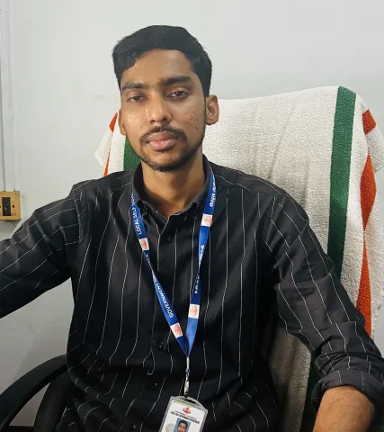
Secretary,Omassery Gramapanchayat

DetailsValueDistrictKozhikodeBlockKoduvallyArea25.46 sq. kmNo. of Wards19Total Population37,252Males18,752Females18,500Population Density998 / sq. kmSex Ratio1032 females per 1000 malesTotal Literacy88.05%Male Literacy93.62%Female Literacy82.76% Omassery Grama Panchayat is situated in Koduvally Block, Kozhikode Taluk of Kozhikode district. Spread across the villages of Puthoor, Raroth, Koodathai, and Nileshwaram, Omassery Grama Panchayat covers an area of 25.46 square kilometers.The boundaries of this panchayat are Kattippara and Kodencheri panchayats on the north; Kodencheri and Mukkam panchayats on the east; Chathamangalam and Mukkam panchayats on the south; and Kattippara and Koduvally panchayats on the west.The Wayanad Pass, which is part of the Western Ghats range, lies to the north of the panchayat. Originating from the Wayanad Ghats and flowing through Puthuppadi and Kodencheri panchayats, the Iruthullipuzha River passes along the northwestern border, separating Kattippara...

Download Now


Socio-Cultural History The Chokkur Temple, said to have been constructed in the 9th century, and the Chokkur Inscriptions, which remain elusive even to the analytical prowess of language scholars, serve as prime evidence of the historical heritage of this region. It is believed that a courtesan/devadasi system (Ganika system) existed in connection with this temple. This area was under the reign of the Kottayam kingdom. Historical references indicate that Tipu Sultan's army used the paths in this village during his military campaigns. Remains of a bridge, said to have been built to facilitate the movement of Tipu's troops, can still be seen today in the Koodathai River. Omassery village was an area comprising nine desams (local divisions) of the Kozhikode taluk, which was part of the old Madras State....
Read More


